The countryside next door
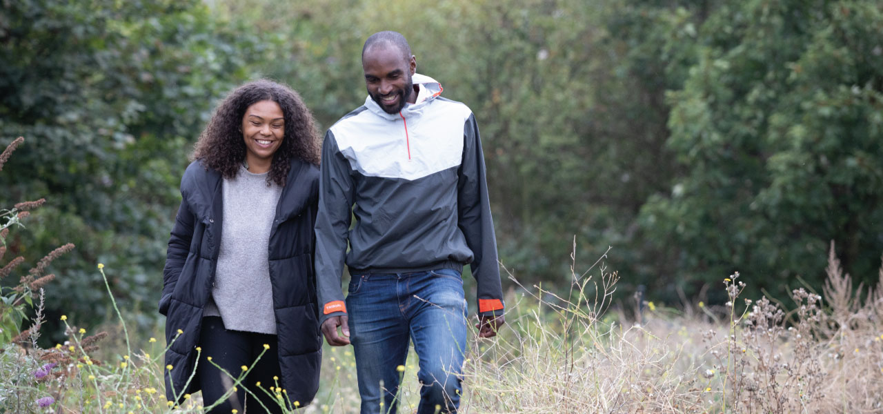
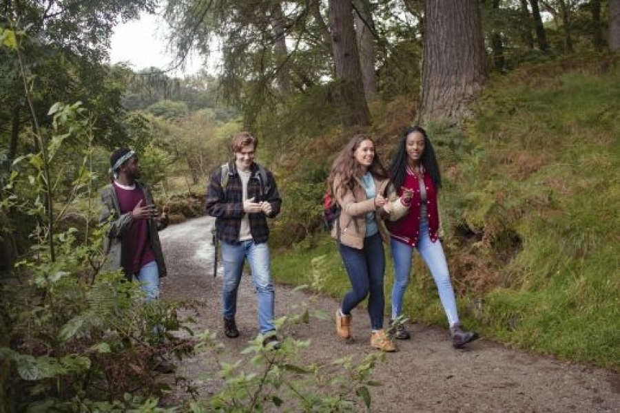
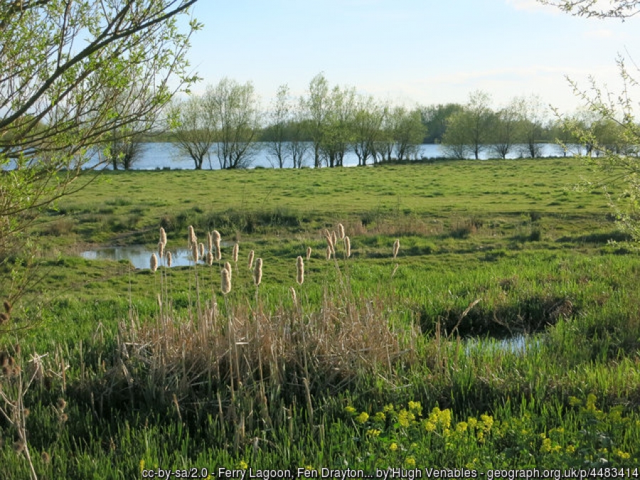
The countryside is closer than you think. The Cambridge Green Belt gives people space to unwind, engage with nature – and also grow our food. It helps mitigate climate change.
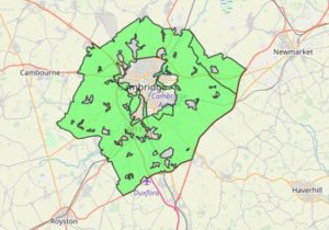
The Cambridge Green Belt was created in 1954. Its purposes, as set out in the Cambridge Local Plan 2006, are to:
- Preserve the unique character of Cambridge as a compact, dynamic city with a thriving historic centre.
- Maintain and enhance the quality of its setting.
- Prevent communities in the environs of Cambridge from merging into one another and with the City.
Nationally, all Green Belts have the following purposes:
- Reduce urban sprawl
- Prevent neighbouring towns from merging
- Protect the character of historic settlements
- Encourage urban regeneration
- Assist with safeguarding our countryside
Within Green Belts, agriculture and related uses are allowed. Opportunities for public access to open countryside, recreation and landscape and nature conservation are encouraged.
This doesn’t mean that Cambridge’s Green Belt is immune to development. The National Planning Policy Framework (NPPF) does allow for development on the Green Belt in ‘very special circumstances’. Local authorities can also release land from the Green Belt for development, but only through a review as part of a local plan, where there are ‘exceptional circumstances’.
The Eddington development in northwest Cambridge is built on former Green Belt land. Using planning rules current at the time, South Cambridgeshire and Cambridge City councils released the land from the Green Belt and revised the Green Belt boundary.
The fact sheet below provides more information about the Cambridge Green Belt.