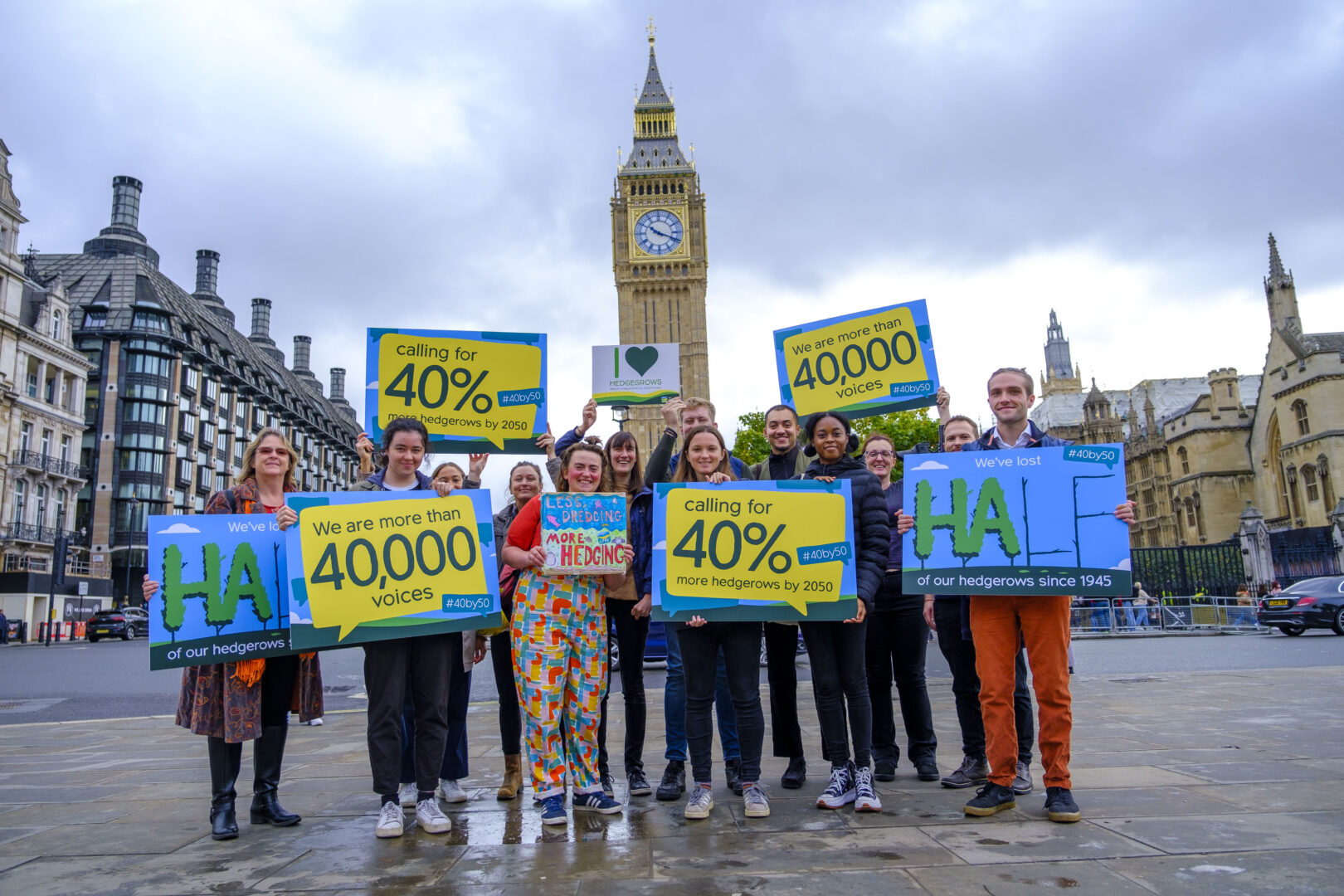
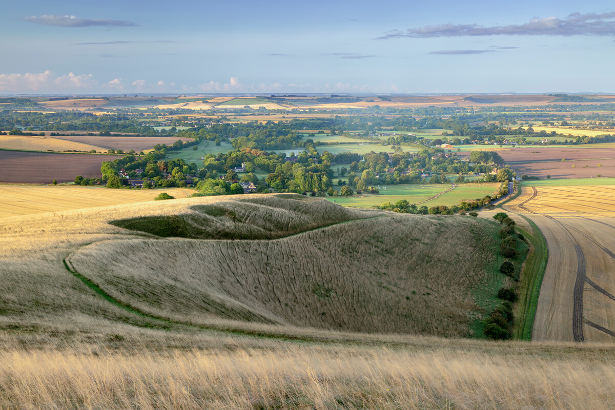
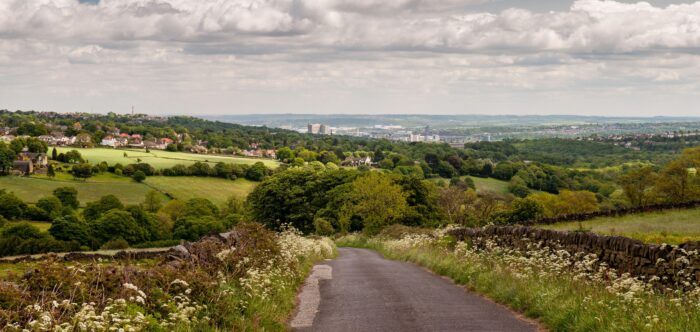
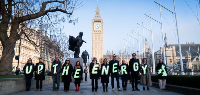
Intrusion

*Areas disturbed by urban development, major infrastructure projects and other noise and visual intrusion.
Crown copyright. Land Use Consultants 2007. Licence No. 100019265. Produced on behalf of CPRE by Land Use Consultants.
England is a densely populated country, one of the most built up in the world. Its countryside is precious. It has been shaped over millennia by human hands leaving a rich heritage, diversity and delicate beauty. It is a vital and valuable asset. It is fragmenting and diminishing each year as roads, extensions to towns and major infrastructure alter its character irretrievably. Our new areas of intrusion maps show how the countryside is being fragmented by this increasing development.
England’s expanding areas of intrusion, % of total land area disturbed
Early 1960s: 26%
Early 1990s: 41%
2007: 50%
Where the countryside is relatively undisturbed by urban and industrial features it enables us to find peace and calm, to ‘get away from it all’, to recharge our batteries, National Parks do this to perfection but so can local familiar countryside on the doorsteps of towns and cities. Across England the character of countryside near and far, nationally or locally cherished, is threatened with the intrusion of new development.
See the maps in more detail
See link to PDFs on the right hand column to see maps for the 1960s, 1990s and 2007.
This version of the map is in Acrobat PDF format, you can zoom into these maps to see more detail. If you don't have Acrobat, you can downloaded it free from www.adobe.com.
Maps where you live: interactive and PDFs
We have produced regional maps so you can see the change and extent of intrusion where you live covering the time periods form the 1960s, 1990s and 2007. > National and regional intrusion maps

