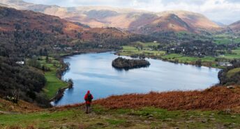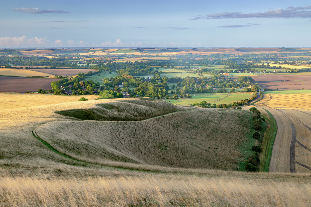


On the right path
Through a grassroots initiative called Slow Ways, volunteers have been creating a network of footpaths across the country – and CPRE members can be part of it.
In early 2020, geographer Dan Raven-Ellison had a brainwave. ‘I’ve walked around the country extensively and it’s as if you need a GCSE in geography or a Duke of Edinburgh Award to navigate your way,’ he says. ‘Yet we can hop in a car and drive to any address knowing we’ll be guided by tech or signage. Walking, however – which helps make people’s lives longer and healthier, and for the lowest price and in the most inclusive way – has been neglected.’
With the aim of creating a national network of paths enabling people to walk between settlements rather than choosing the default option of getting into their cars, Dan dug into Department of Transport data. He came up with 2,500 key places – cities, towns, transport hubs – and, along with other volunteers, plotted these on a map. ‘We mapped Roman-style straight-line connections between those places to make it easier for people to imagine how they would complete those journeys. This was the initial structure of the Slow Ways network.’
To come up with ways of actually making those journeys on the ground, more volunteers came on board. Then Covid struck, the country went into lockdown, and they had to start mapping potential paths online. ‘A community quickly forged around this, giving people a great sense of purpose through collaborating with others online,’ says Dan.
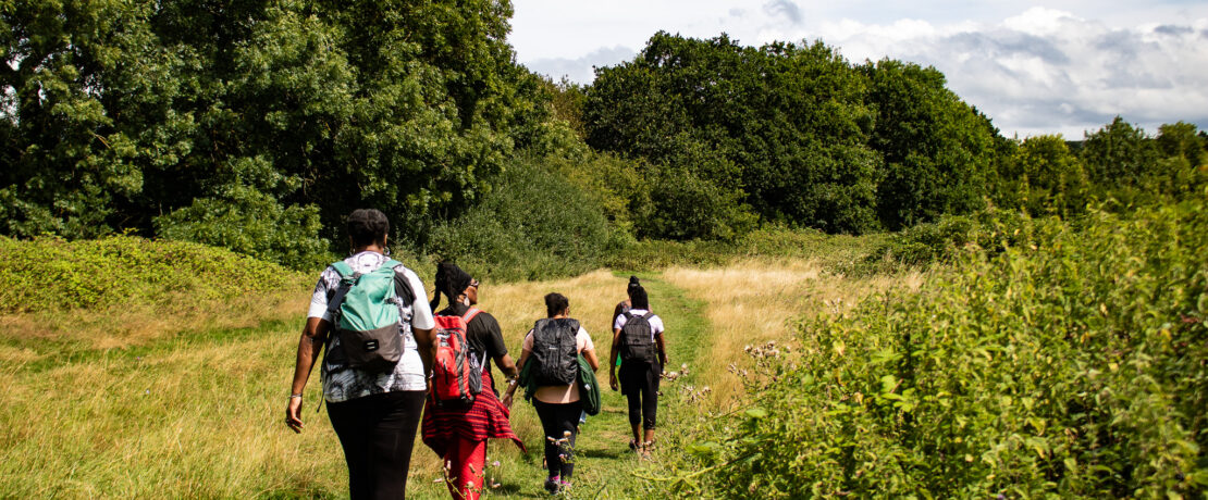
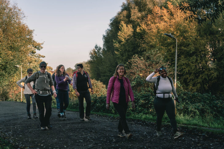
Once lockdown lifted, the mapping and trying of routes continued on the ground, with thousands of volunteers contributing reviews to the Slow Ways database. ‘Reviews vary greatly,’ says Dan. ‘Some simply say “I loved the walk”, some say “stunning views, incredible history, have your lunch at the castle”, others give detailed left-by-right instructions. But even a single person saying this is a great way to get from A to B is enough to give others the confidence to try – and we now have about 15,000 reviews on the website.’
Volunteers can also do a more detailed survey, adds Dan’s colleague Hannah Engelkamp. ‘This is an in-depth review considering gradient, path quality, obstacles and so on,’ she explains.
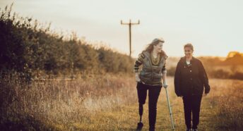
Often, people log several Slow Ways routes between two places. That’s because different volunteers – who might walk as groups, as families or on their own – may have different needs and purposes. For example, among the groups who have helped verify routes are Experience Community, which helps physically disabled people enjoy the benefits of outdoor and green spaces.
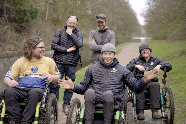
‘One of our members of staff came across Slow Ways over lockdown and immediately recognised how traffic-free routes between places could be of benefit to our participants,’ says Experience Community’s Rik Legge.
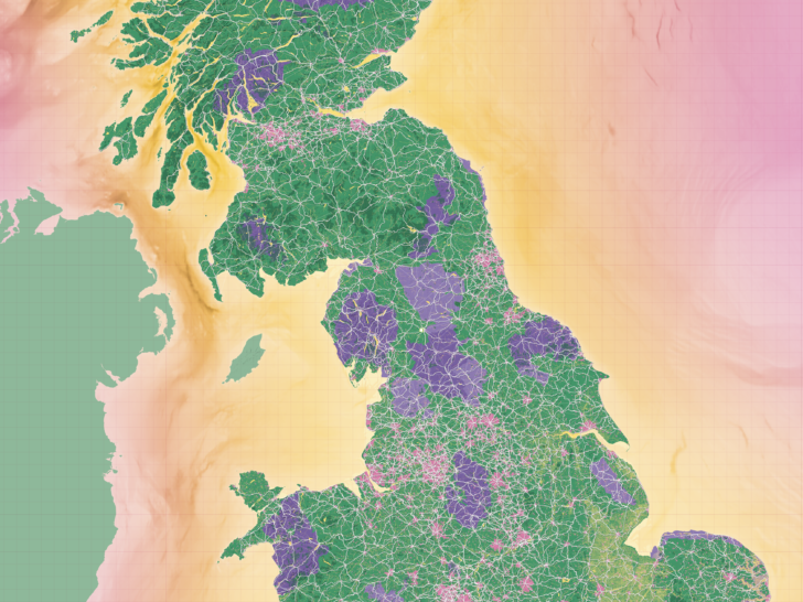
Now, over 2,200 routes—one-third of the Slow Ways network—have been verified as at least three people have checked them. ‘That takes in 2,500 endpoints, but there are thousands of villages and hamlets along those routes,’ says Dan. ‘In total, the verified Slow Ways network so far is just under 9,000 miles – about 10 times longer than the National Trail network and about five times longer than the National Cycle Network.’
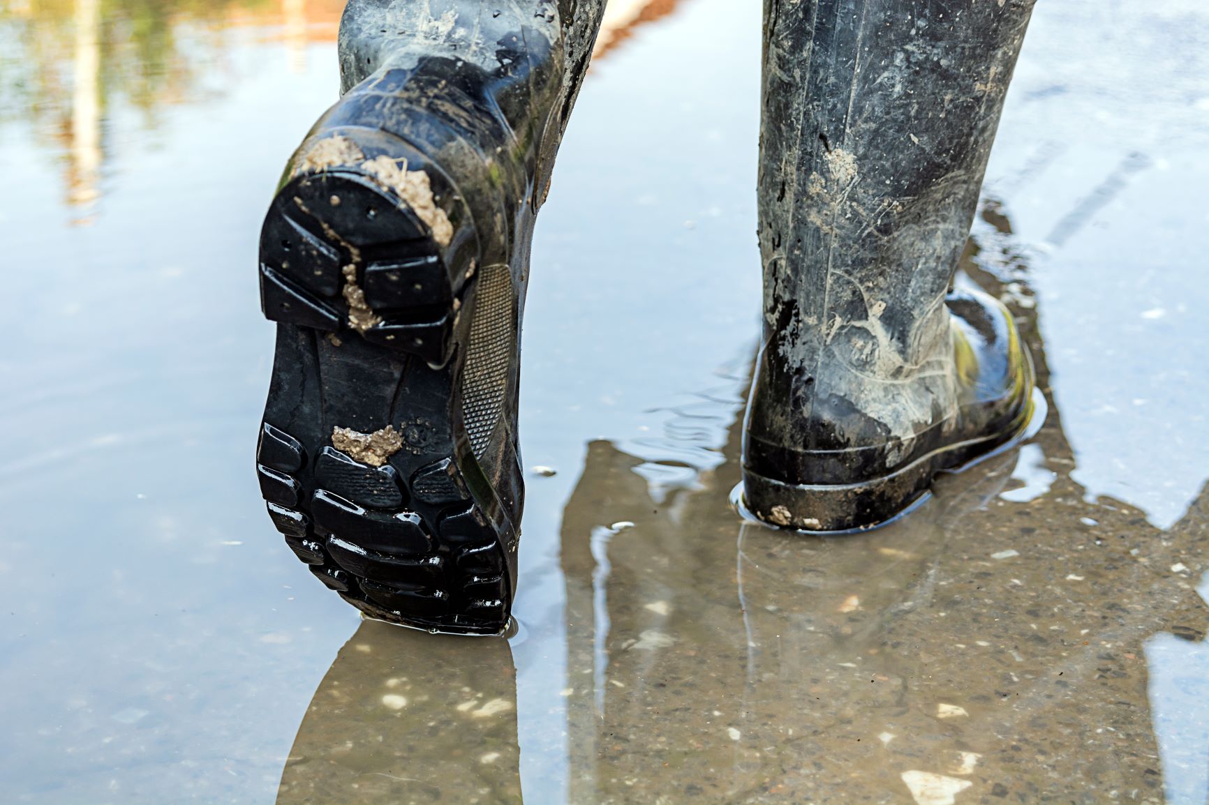
Some of the Slow Ways network may be paths walked for centuries but, Hannah stresses, Slow Ways is not ‘a nostalgic undertaking’. ‘Old access shouldn’t be lost, but we also need to look at the access we need today, given that we’ve got new towns, new neighbourhoods, and also new challenges, where new roads or railways have blocked old routes, or flooding through climate change has made them unusable.’
‘In Devon, where I live,’ adds Dan, ‘roads for cars have replaced many original footpaths. And if you can’t walk home safely from the pub or walk safely to school without going on a dangerous road that’s a real problem not just for people’s safety but for their health and community.
‘We’d like to see land managers and owners creating more permissive access, and councils promoting Slow Ways routes. We’d also love the government to help signpost them all – an arrow that tells you the direction and the distance to the place you’re headed. Because signage is an invitation. It’s about being welcoming, about inclusivity – and not having signage is a way of excluding people.’
Slow Ways’ primary focus now is to get as many people as possible walking and verifying the remaining routes.
And Dan says CPRE members might be the walkers they are looking for. ‘It’s taken us three years to verify a third of the network, but we could do the whole of England in a morning if everyone from CPRE turned out to walk. That’s the strength of community and collaboration!’
Find out more at beta.slowways.org