Skip to content
Action
Stand up for the countryside near you
Our Letter to England
CPRE Centenary National Awards
More
Love Your Countryside
Community energy
Rooftop solar
Hedgerow Heroes
Greening the Grid
New towns done well
Support
Donations and membership
Volunteering
Fundraising for CPRE
More
Become a member
Leave a gift in your will
Donate in memory
Find a volunteering role
Log into Volunteer Hub
Partner with us
About
Celebrating our centenary
What we do
Our history
More
Resources
Meet our senior team
Meet our president and vice presidents
Meet our trustees
Equality diversity and inclusion
Careers
Latest
Near you
Donate
Close search X
I'm looking for
Search for:
Action
Stand up for the countryside near you
Read more
Our Letter to England
Read more
CPRE Centenary National Awards
Read more
More
Love Your Countryside
Community energy
Rooftop solar
Hedgerow Heroes
Greening the Grid
New towns done well
Support
Donations and membership
Read more
Volunteering
Read more
Fundraising for CPRE
Read more
More
Become a member
Leave a gift in your will
Donate in memory
Find a volunteering role
Log into Volunteer Hub
Partner with us
About
Celebrating our centenary
Read more
What we do
Read more
Our history
Read more
More
Resources
Meet our senior team
Meet our president and vice presidents
Meet our trustees
Equality diversity and inclusion
Careers
Latest
Near you
Home
/
What we care about
What we care about
Nature and landscapes
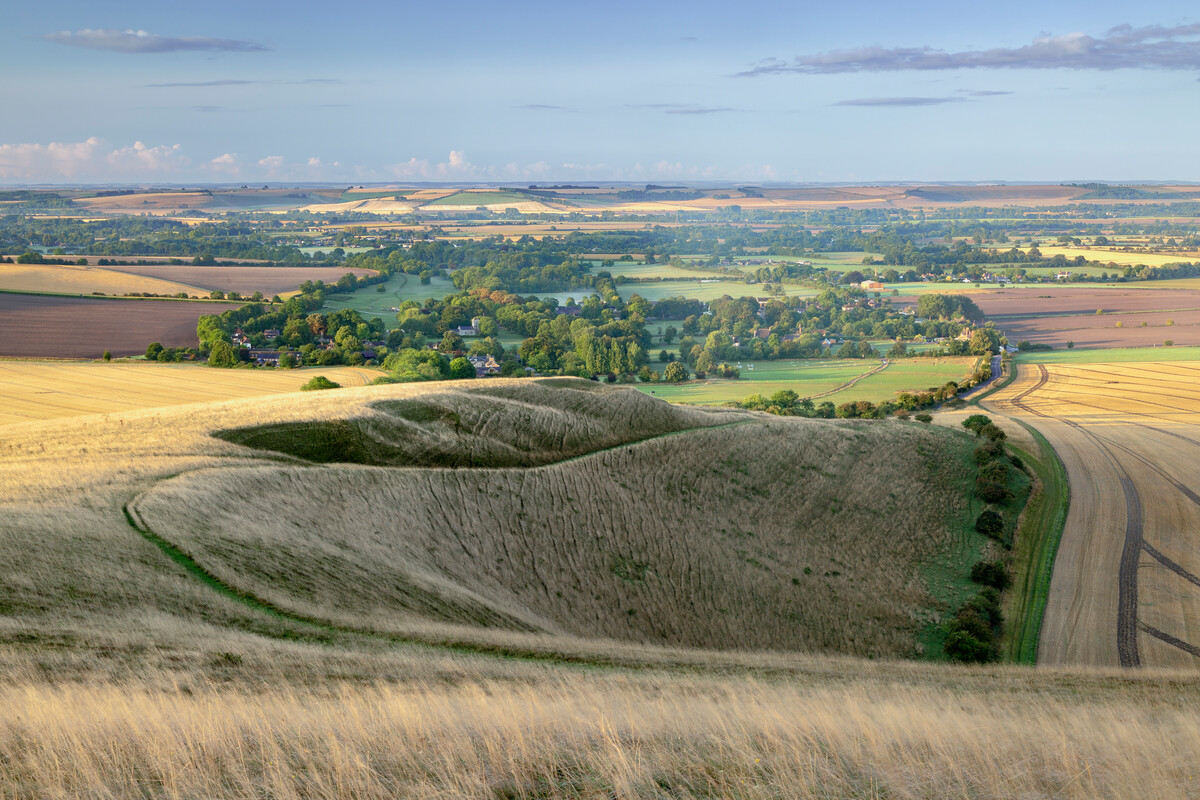
Landscapes
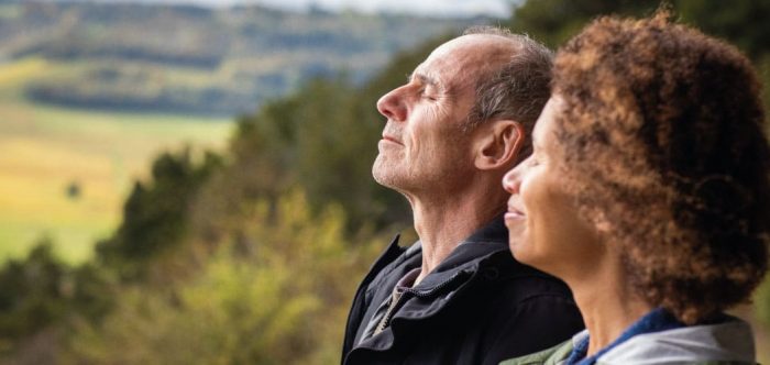
Tranquil places
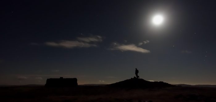
Dark skies
Hedgerows
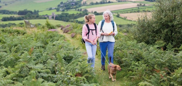
Countryside for all