

2016 Star Count interactive maps and recommendations
The most detailed ever satellite maps of England’s dark skies are today released by the Campaign to Protect Rural England (CPRE) [1]. Produced by consultants LUC, they enable users to search by postcode, and provide a more detailed and up-to-date analysis of England’s skies compared with the global atlas of light pollution released this week.
The interactive maps were produced with satellite images captured at 1.30 am throughout September 2015. They show that the Isles of Scilly, West Devon and Eden in Cumbria are England’s darkest districts [2], and that the very darkest spot in England, out of more than 2.25million pixels, is a secluded hillside on the East Kielder Moors in Northumberland.
CPRE’s interactive maps also give us an unprecedented level of understanding into where light pollution is most invasive. Nineteen of the brightest 20 skies are above London boroughs, while Manchester is the only non-London district in the top 20 [2]. As a region, London is at least nine times brighter than any other except the North West [see breakdowns below – 3].
The very brightest spot is above a Tata Steel foundry in Rotherham, followed by the Thanet Earth greenhouse complex in Kent and the space around Wembley Stadium in London. The brightest point in the East Midlands is Leicester City’s King Power stadium, still lighting up the sky long after the games have finished.
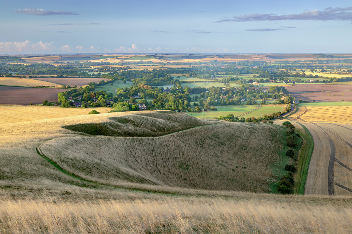
Nationwide, the maps show that just 22% of England is untouched by light pollution, and that 53% of our darkest skies are over National Parks and Areas of Outstanding Natural Beauty. Northumberland National Park enjoys 96% pristine night skies, while the South Downs, granted Dark Sky Reserve status in May 2016, is London’s closest expanse of dark skies.
The maps also show where we can find oases of darkness in our brightest areas: Wimbledon Common and the Mayfield Lavender Fields in London; countryside to the north of Newcastle airport; and Allestree Park on the edge of Derby.This research comes at a time of increasing awareness of the harmful effects light pollution can have on the health of people and wildlife [4]. That these skies were monitored at 1.30 am illustrates just how long into the night England’s lights continue to shine.
Local councils were estimated to spend £613 million on street lighting in 2014-15, and the lights can account for between 15-30% of a council’s carbon emissions. The research shows that motorways, trunk roads and business districts are significant contributors to light pollution.
LUC generated the maps from data gathered by the National Oceanographic and Atmospheric Administration (NOAA) in the United States. They make it easier to identify and reduce severe light pollution, and help to identify existing dark skies that need may need protecting.
CPRE recommends that:
* Local authorities develop policies in local plans to control light pollution, which ensure that existing dark skies are protected and that new developments do not increase local light pollution. (See a case study from Northumberland below [5])
* Highways England use the maps to identify sections of motorways and trunk roads that need urgent attention to reduce light pollution. Any new lighting should be well designed and the minimum required to meet its purpose
* Businesses review their current lighting and future development plans to save money by dimming or switching off light to reduce pollution
* Primary schools use the lesson plans that CPRE has disseminated to promote the enjoyment of dark skies
Emma Marrington, senior rural policy campaigner at the Campaign to Protect Rural England (CPRE), said: “Our view of the stars is obscured by artificial light. Many children in urban areas may not have seen the Milky Way, our own galaxy, due to the veil of light that spreads across their night skies.
“Councils can reduce light levels through better planning and with investment in the right street lighting that is used only where and when it is needed.
“Our Night Blight maps also show where people can expect to find a truly dark, starry sky. The benefits of dark skies, for health, education and tourism, are now being recognised, with areas such as the South Downs National Park receiving International Dark Skies Reserve status. Dark skies are a key characteristic of what makes the countryside so different from urban areas.”
Duncan Wise, Visitor Development and Marketing Manager, Northumberland National Park, added: “Everyone should have the opportunity to appreciate the beauty of the Milky Way with their own eyes. It should not be the preserve of just those who are fortunate enough to live in rural areas.
“We can all do our bit. If you need to install outside lights on your home or business, make sure that they are fully-shielded, to only shine downwards, where the light is needed. Also consider how much light you need and the colour temperature of your light bulb. These simple steps will make a real difference to our quality of life and help ensure that our skies above remain truly dark.”
A Tata Steel UK spokesman told the Sunday Times: “Steelmaking operations are carried out 24 hours a day and, because safety is our number one priority, it is important to ensure lighting levels are adequate at all times.
“However, we are always looking at ways of reducing the impact of our operations on the environment and the communities in which we are based. For that reason we have an ongoing programme to replace all lighting with modern low-energy units which are more directional and therefore create less light pollution.”
Sir Martin Rees, Astronomer Royal, commented: “It has taken a great deal of dedicated effort to generate these maps. They are fascinating. They tell us where dark skies can be found – and perhaps, by highlighting the regions where light pollution is greatest, will encourage remedial efforts that will not only save energy, but also enable more of us to enjoy a dark sky in the way earlier generations could.”
ENDS
Notes to editors
[1] The interactive map is available here: http://nightblight.cpre.org.uk/maps/
The data is analysed in the accompanying report: CPRE, Night Blight, June 2016.
The new maps are based on data gathered in September 2015 by the National Oceanographic and Atmospheric Administration (NOAA) in America, using the Suomi NPP weather satellite. One of the instruments on board the satellite is the Visible Infrared Imaging Radiometer Suite (VIIRS), which captures visible and infrared imagery to monitor and measure processes on Earth, including the amount of light spilling up into the night sky, captured by a day/night band sensor.
[2] A selection of rankings of the data:
The three darkest regions, on average
- South West
- East of England
- East Midlands
The darkest districts, on average
- Isles of Scilly, Cornwall
- West Devon, Devon
- Eden, Cumbria
- Ryedale, North Yorkshire
- Torridge, Devon
- Richmondshire, North Yorkshire
- West Somerset, Somerset
- South Lakeland, Cumbria
- Craven, North Yorkshire
- Mid Devon, Devon
The brightest districts, on average
- City of London
- Tower Hamlets
- City of Westminster
- Hackney
- Islington
- Newham
- Lambeth
- Hammersmith and Fulham
- Southwark
- Brent
The five darkest on average counties
- Herefordshire
- Northumberland
- Cumbria
- Cornwall
- Rutland
The five brightest on average counties
- West Yorkshire
- South Yorkshire
- Berkshire
- Cheshire
- Nottinghamshire
[3] See CPRE, Night Blight, p. 9.
[4] Light pollution is a generic term referring to excess artificial light that shines where it is neither wanted nor needed. In broad terms, there are three types of light pollution:
- skyglow – the pink or orange glow we see for miles around towns and cities, spreading deep into the countryside, caused by a scattering of artificial light by airborne dust and water droplets
- glare – the uncomfortable brightness of a light source
- light intrusion – light spilling beyond the boundary of the property on which a light is located, sometimes shining through windows and curtains
[5] Case study
In early 2015, Northumberland County Council began an ambitious £25 million project to modernise all the street lights in the county over the next three years. Around 44,500 street lights will replaced with Light Emitting Diode (LED) technology, with nearly 17,000 existing lampposts being replaced. The council are hoping to cut energy consumption by street lighting by more than 60%, which will lead to savings in the region of £300,000 per year and reduce the carbon footprint of the street lighting stock by more than 5,000 tonnes of carbon dioxide. The programme to renew the street lighting started in the town of Ashington. There is more detail available on page 10 of the Night Blight report.
For more information please contact Benjamin Halfpenny on 020 7981 2819 / benjaminh@cpre.org.uk.
Find out more
Visit our NightBlight website to find dark skies near you and tips on how to reduce light pollution