

CPRE light pollution and dark skies map
We’re campaigning to reduce light pollution and ensure that everyone can enjoy truly dark skies. As part of this work, in 2016 we produced an interactive map which you can use to see level of light pollution and dark skies in Britain.
About the map
How far do you have to go to find a truly dark sky? Is your neighbourhood surrounded by bright lights that are on throughout the night? Or do you work for a local or county council that can influence lighting, either through planning policies or the management of street lighting? Our interactive map can help.
CPRE’s map of Britain’s light pollution and dark skies is the most detailed national maps on this subject created for Britain.
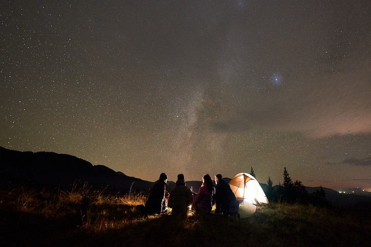
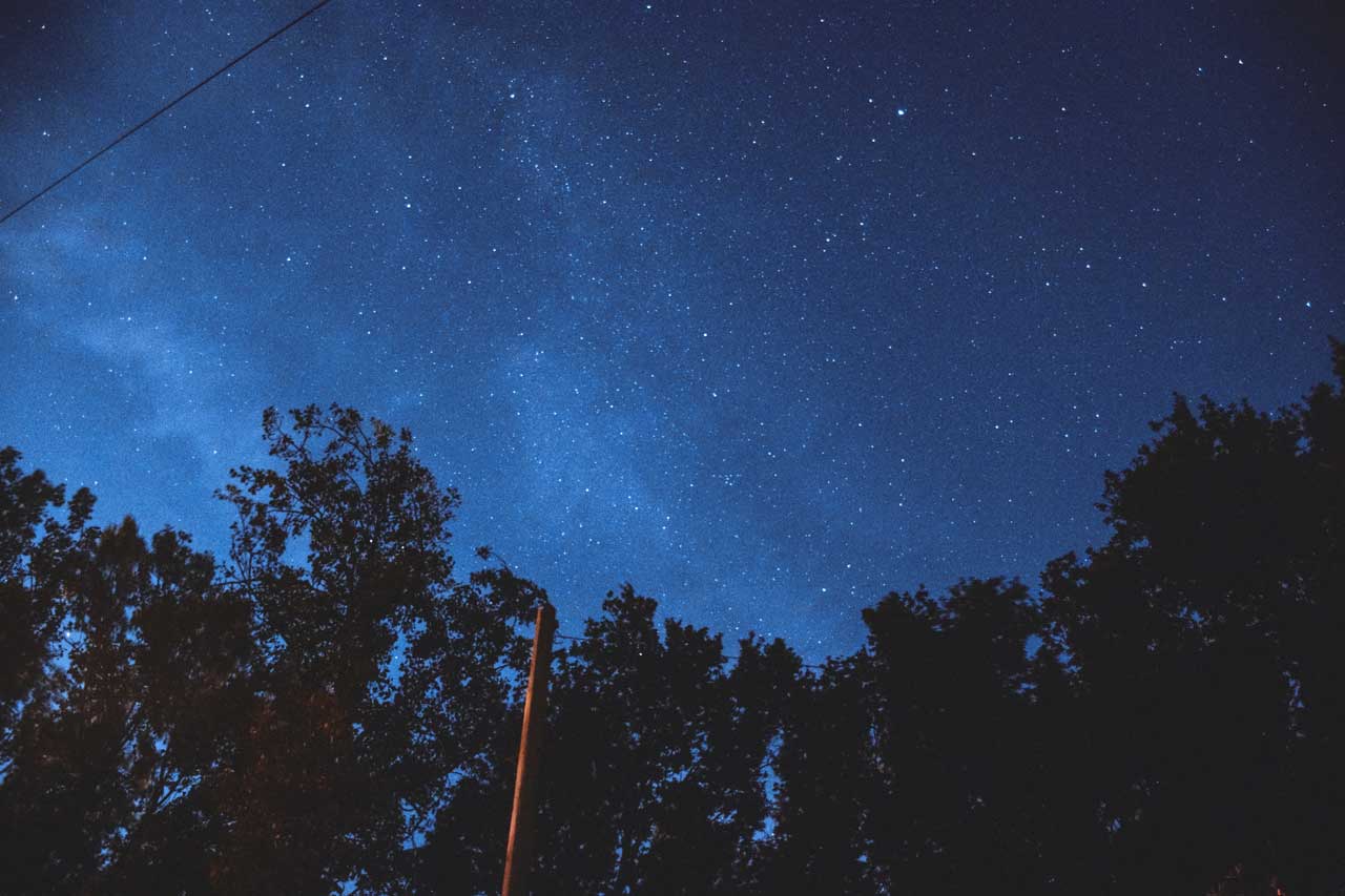
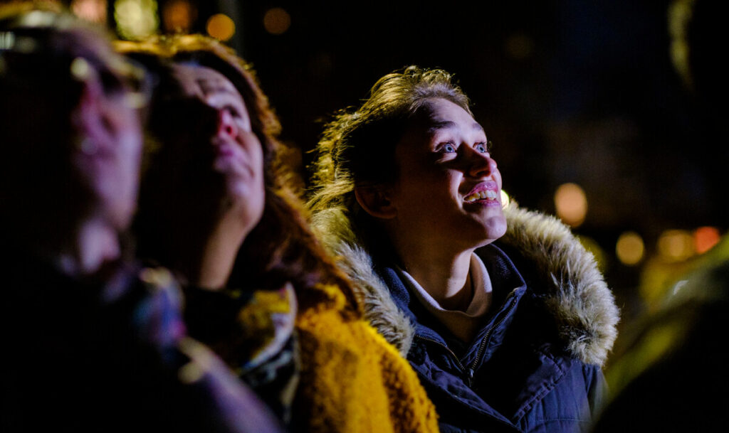
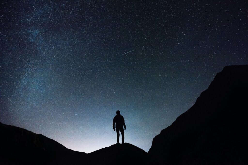
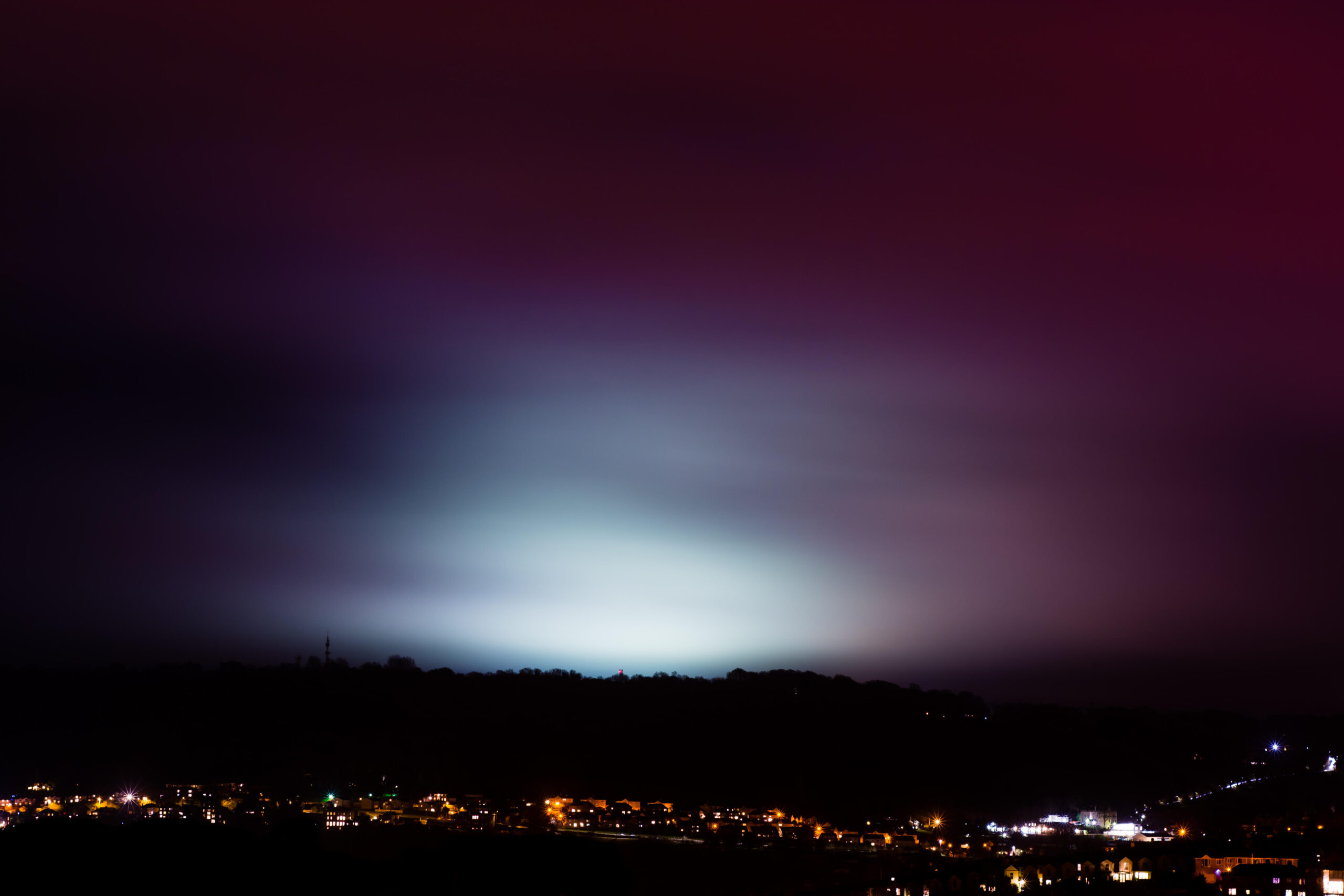
We have long been a leading voice in the campaign against light pollution. We’re concerned that, even in the depths of the countryside, genuine dark starry nights are becoming harder to find. Our interactive map shows how light pollution is spilling up into the night sky around the country – and where the darkest skies are.
The map features detailed maps of England’s counties, districts, National Parks, Areas of Outstanding Natural Beauty (AONBs) and National Character Areas. You can also generate a map based on a postcode area. All of the maps can be printed easily, too, helping you to understand where the brightest and darkest places are in your local area.
The maps are based on data captured by an American weather satellite in September 2015 that passes over the UK at 1.30 am. We worked with LUC who analysed the data and created these ground-breaking maps.
Map of night skies
CPREs interactive map lets you see light pollution levels across Britain. It’s a valuable tool, whether you want to campaign for dark skies in your area or just want to learn more about light pollution in your area.
Launch the map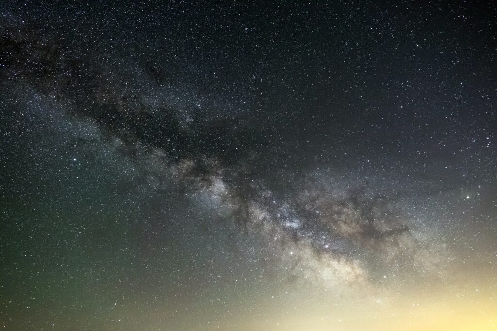
Explainers
Dive deeper into the topics we care about with our handy explainer guides.
 4 min read